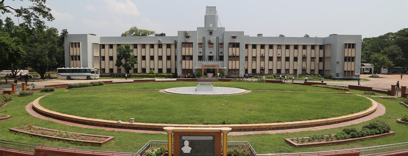
Welcome to the Department of Geography and Environmental Studies
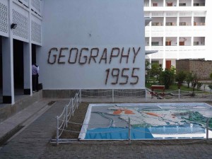
Department of Geography and Environmental Studies is one of the oldest and largest departments in the University. The Department started functioning with the name Geography with few students and teachers in 1955. The first batch of students in a two-year postgraduate course was admitted in 1955. Subsequently three years honours course was introduced in 1962. Since its establishment, the department has been growing almost continuously. The pace of growth has increased after the liberation of Bangladesh in 1971. Currently the department has 19 teachers (10 are professors), 07 Officers and 10 staffs. Total number of students is around 400. With several changes in academic set up and curriculum the department is now placed under the newly created Faculty of Geoscience. Integrated Honours course is running since 1991-92 sessions and to meet the challenge of time four years Honours course was introduced in 1997-98 sessions. The courses for the undergraduate classes are designed to maintain a balance between the physical and the human branches of geography; the postgraduate courses, on the other hand, are designed to give the students specialized knowledge in different aspects of the subjects.
The department is well equipped in respect of technical equipments and staffs. Besides meeting the needs of the general students regarding library facilities, practical and fieldwork the department has an adequate facility for advanced research work. The department has collaborations with many universities abroad such as the University of Education, Freiburg, University of Cologne, University of Muenster, IDRISI Lab of the Clark University and University Technology Malaysia. In addition the department maintains close functional partnership with many government institutions and research centers inside the country such as SPARRSO, Bangladesh Meteorological Department, Center for Environment and GIS, Soil Reources Development Institute, Bangladesh Agriculture Research Council etc.
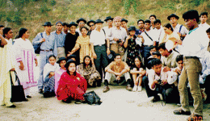
The teachers of this department are actively engaged in research activities in different areas of the discipline including GIS and Remote Sensing. A good number of teachers have also received training in GIS and Remote Sensing from abroad. Senior teachers of the department are supervising a good number of M.Phil and Ph.D. fellows of the department and various Institutes of the University. Major research areas currently are GIS and remote sensing application, physical geography, agriculture geography, environment and disaster management, coastal eco-system, land use change, climate change etc. The department organized and organizing seminars, conferences and workshops at regular basis. The department has its own annual Journal named “The Journal of Geo-Environment”, ISSN 1682-1998. Students of this department take active part in sports, athletics and other co-and extra curricular activities. All the members of the department are working hard to meet the challenge of higher education in the country in the new millennium.
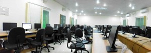
Geographic Information System (GIS) and Remote Sensing Laboratory includes sufficient number of high speed PCs with some wide screen monitors, large format digitizer and color inkjet plotter, sufficient number of conventional printers and multimedia projectors. All the computers and peripherals in the department are networked, which is connected to the fiber optics based campus LAN. The LAN is connected to the university’s own 24-hour online internet service.
Survey laboratory includes plane table survey equipment, prismatic compass survey equipment, chains and taps, theodolite, Dumpy level, global positioning systems (GPS), DGS, barometric altimeters, sound measuring device, eco-depth finder etc.
Physical Geography Laboratory includes different landform models, rocks and minerals’ testing equipment, particle measuring devices, arsenic contamination testing tools, pollution measuring devices, pH meters, water testing devices etc.
Climatology Laboratory includes automatic weather monitoring devices that collects 13 types of weather data in an hourly basis and records automatically.
Cartography laboratory includes large scale topographical maps of two periods of entire Bangladesh, different types of weather maps and satellite image hardcopies of 1978-1979 for the entire country. This laboratory also includes different types of
maps and atlases.
Geo-informatics Research Unit has satellite raw digital data of different platforms for the entire country of different time phases as well as all major GIS and remote sensing software. The unit also has a good archive of vector digital data of different administrative level and features of Bangladesh.